Soil core samples show an ancient riverbed under the desert near many Egyptian pyramids, revealing an ancient waterway that dried up thousands of years ago
By Chen Ly
16 May 2024
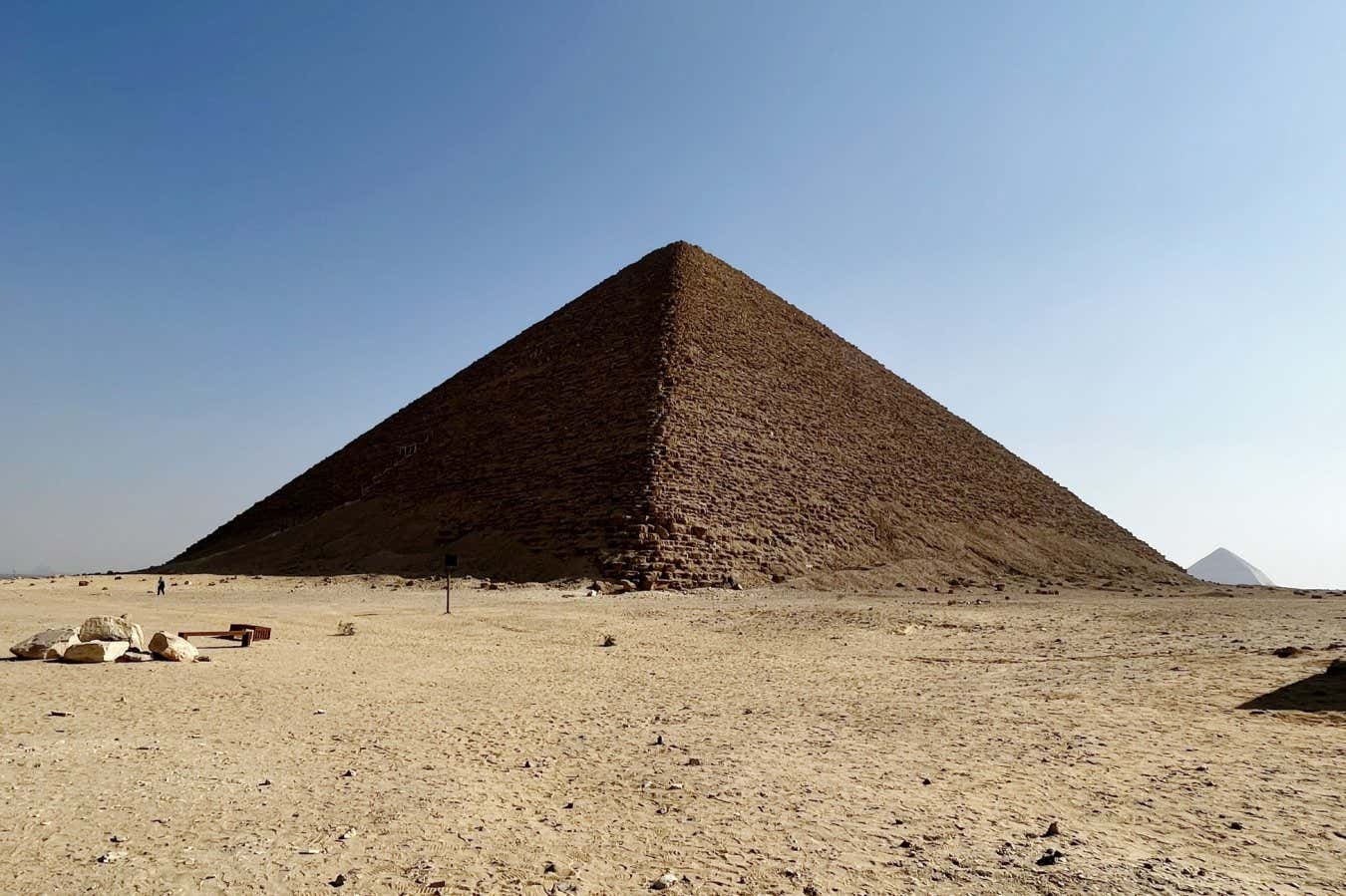
The Red Pyramid at Dahshur in Egypt was one of many built close to a lost branch of the Nile
Eman Ghoneim
Many of the pyramids of ancient Egypt were built along a now extinct branch of the river Nile, geological surveys have revealed. This could explain why these pyramids, including the famed Great Pyramid of Giza, are clustered in a thin strip of arid, inhospitable land.
“Since ancient times, the Nile has provided sustenance to Egyptian settlements, and it functions as the main water corridor that allowed for the transportation of goods and building materials in the past,” says Tim Ralph at Macquarie University in Sydney, Australia. “For this reason, most of the key cities and monuments were built in close proximity to the banks of the Nile and its peripheral branches.”
Read more
The stunning east Asian city that dates to the dawn of civilisation
Advertisement
More than 100 pyramids were constructed between 4700 and 3500 years ago as grand tombs for Egypt’s pharaohs. Thirty-one of these, including the pyramids of Dahshur, Giza and Saqqara, are dotted along the edge of Egypt’s Western desert, several kilometres away from the Nile.
To transport the enormous number of people and resources necessary to build these pyramids, researchers have long thought that the Nile may have once had an offshoot that flowed by the construction sites.
To investigate further, Ralph and his colleagues looked at radar satellite imagery and land elevation data of the region. Depressions in the landscape indicated that the old water channel may have stretched 64 kilometres past the pyramid fields between the northern city of Giza and the village of Lisht in the south. It was also close to the ancient Egyptian capital of Memphis and the Abusir, Saqqara and Dahshur pyramid complexes.